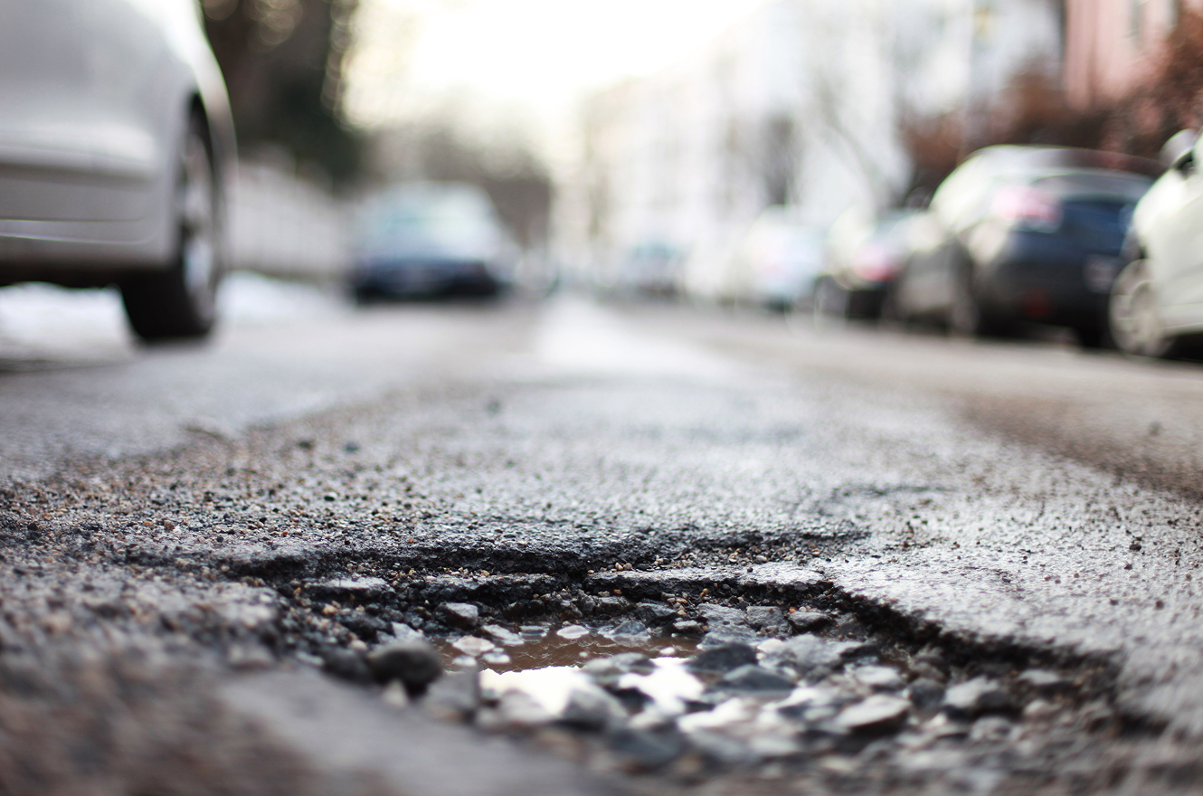
Winter just broke your roads. The damage is already there — it's just largely invisible. Here's how to find it before the first heavy truck does, and while repairs are still cheap.
The snow is melting, the days are getting longer, and on the surface your road network looks like it survived another winter. But underneath the asphalt, a silent problem is spreading — and the decisions you make in the next few weeks will decide whether it costs you a crack seal or a full reconstruction.
Every road manager knows the freeze-thaw cycle. Water seeps into microscopic surface cracks in autumn. When it freezes, it expands by roughly 9%, forcing the pavement apart. As it melts in spring, meltwater from the thawing base and sub-base gets trapped between the surface layer and the still-frozen soil beneath — sharply weakening the road's load-bearing strength
This is exactly why so many jurisdictions impose spring load restrictions: for a few weeks after the thaw, the road structure simply can't carry its normal loads. Pavement strength typically hits its lowest point 1–3 weeks after the thaw completes . That narrow window is when damage accelerates — and when it's easiest to catch.
Traditionally, spring means reactive mode: you wait for the phone to ring with pothole complaints, or you rely on a condition survey done by some consultants two years ago. By the time a pothole is reported in July, the cheap intervention is gone. The problem: to act early, you need to know exactly where winter hit hardest — now, not in several months.
This is where a smartphone inspection changes the game. Instead of waiting for a specialised laser-van tender, you mount a phone on the windshield of a vehicle already driving your network, press record, and let AI do the rest.
Pluto turns that phone into an automatic road inspector — detecting damage and assets across your network so you can plan repairs, justify budgets, and keep roads safe. It documents the road with geo-tagged images every 5 metres, recognises over 65 damage categories plus 200+ sign types, and cuts inspection time by around 50% (Pluto). Because collection is passive — it happens while vehicles run their normal errands — a network that used to be surveyed once every three years can be scanned monthly (Faxe Municipality).
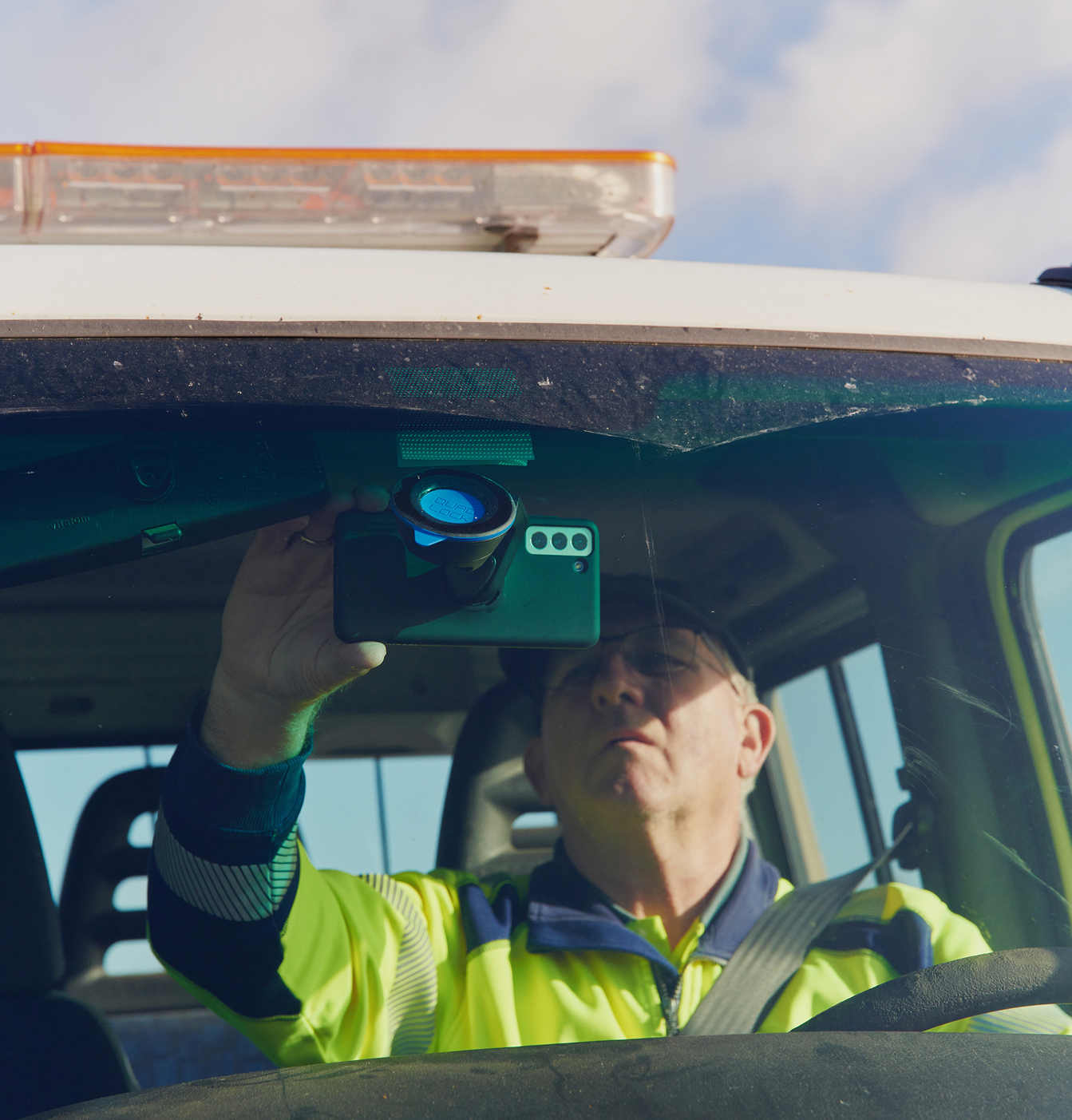
Pluto doesn't just record video — it analyses it, assigning a severity level to defects across every segment. Right after the thaw, that gives you an objective health check of the whole network. Filter the map to show only your highest-severity defects and send crews to seal cracks before they become vehicle-damaging potholes.
The detail is a step change. When Aabenraa Municipality (1,600 km of road) switched from manual, outsourced surveys to Pluto, registered damages and assets went from ~9,000 to over 400,000 — not because the roads got worse, but because every individual defect is now captured instead of estimated across whole stretches. Where budget once allowed them to update just a third of the network a year, they now refresh the entire network several times a year and still save money.

The window for cost-effective preventive maintenance is closing as you read this. A digital spring audit turns the annual guessing game into an objective, prioritised list — so you don’t go into panic mode in July because you’ve already started managing your assets strategically in March.
Ready to see your roads clearly after the thaw? Book a trial →